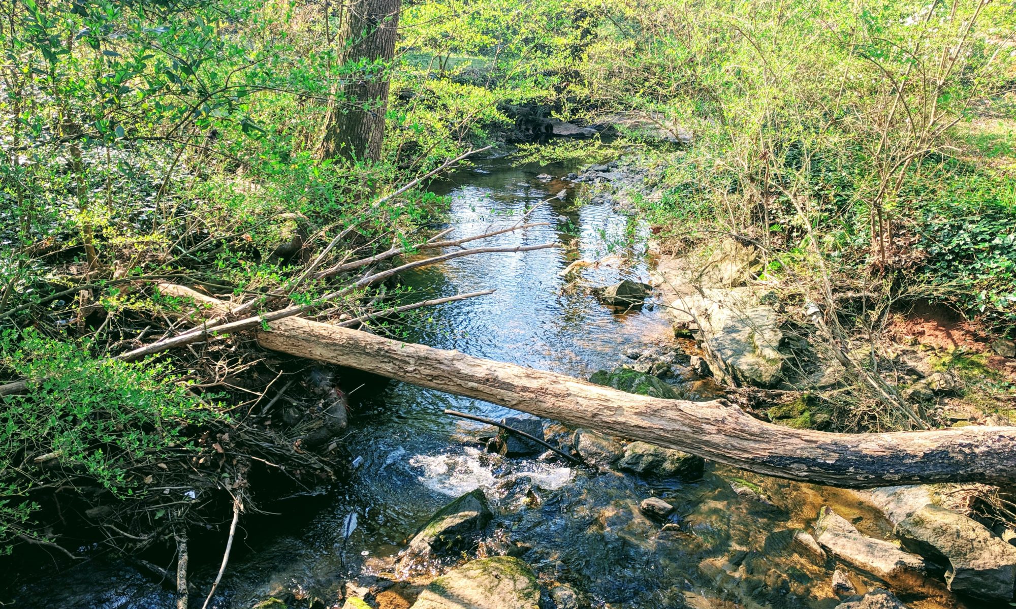
Shoal Creek has West, Central, and East branches:
- West Shoal Creek has its headwaters in the Oakhurst neighborhood, with the uppermost reaches of the watershed extending along College Avenue. Residents are familiar with this branch where it flows through the Wylde Center, and under S. McDonough St. It also is visible where it flows under Ansley St., Adams St., and S. Candler.
- The main branch of Shoal Creek runs through the Winnona Park neighborhood. It joins with the west branch at Dearborn Park. This branch is familiar to residents of Winnona Park, where the stream flows by the Winnona Park Elementary School field, and then under Kirk Road.
- East Shoal Creek originates near the pond at the old Methodist Children’s Home property (now Legacy Park) and joins the main branch of the creek south of Dearborn Park.
From there the branches together form a tributary into South River, where Shoal Creek ends, just outside the Perimeter.
Within the City of Decatur, Shoal Creek is one of four watersheds, and represents the largest watershed within the City by area.
Decatur straddles the Eastern Continental Divide, which runs east-west roughly along College Avenue and the railroad tracks. Waters south of the divide flow to the Atlantic, while runoff north of the divide flows to the Gulf of Mexico.
This geographic feature makes the headwaters of Shoal Creek especially notable, in that they are some of the uppermost headwaters for the entire watershed of the Ocmulgee River Basin, one of 14 of Georgia’s major river basins. The Ocmulgee River combines with the Oconee River downstream near Lumber City, Georgia, and from there flows to the Atlantic as the Altamaha River.
Waters flowing through Shoal Creek would reach the Atlantic at St. Simons Island, near Brunswick, Georgia.
Explore more of the Shoal Creek watershed on Google Maps and the City of Decatur OneMap.
